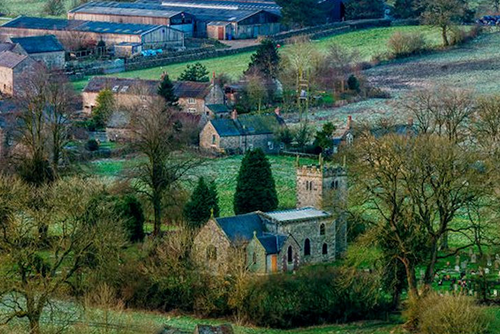
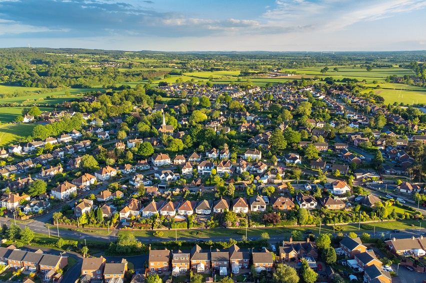
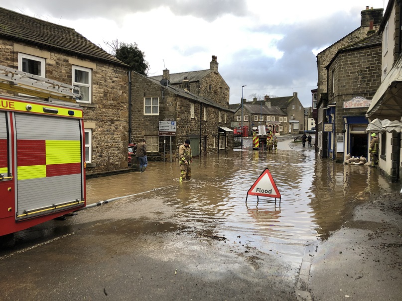
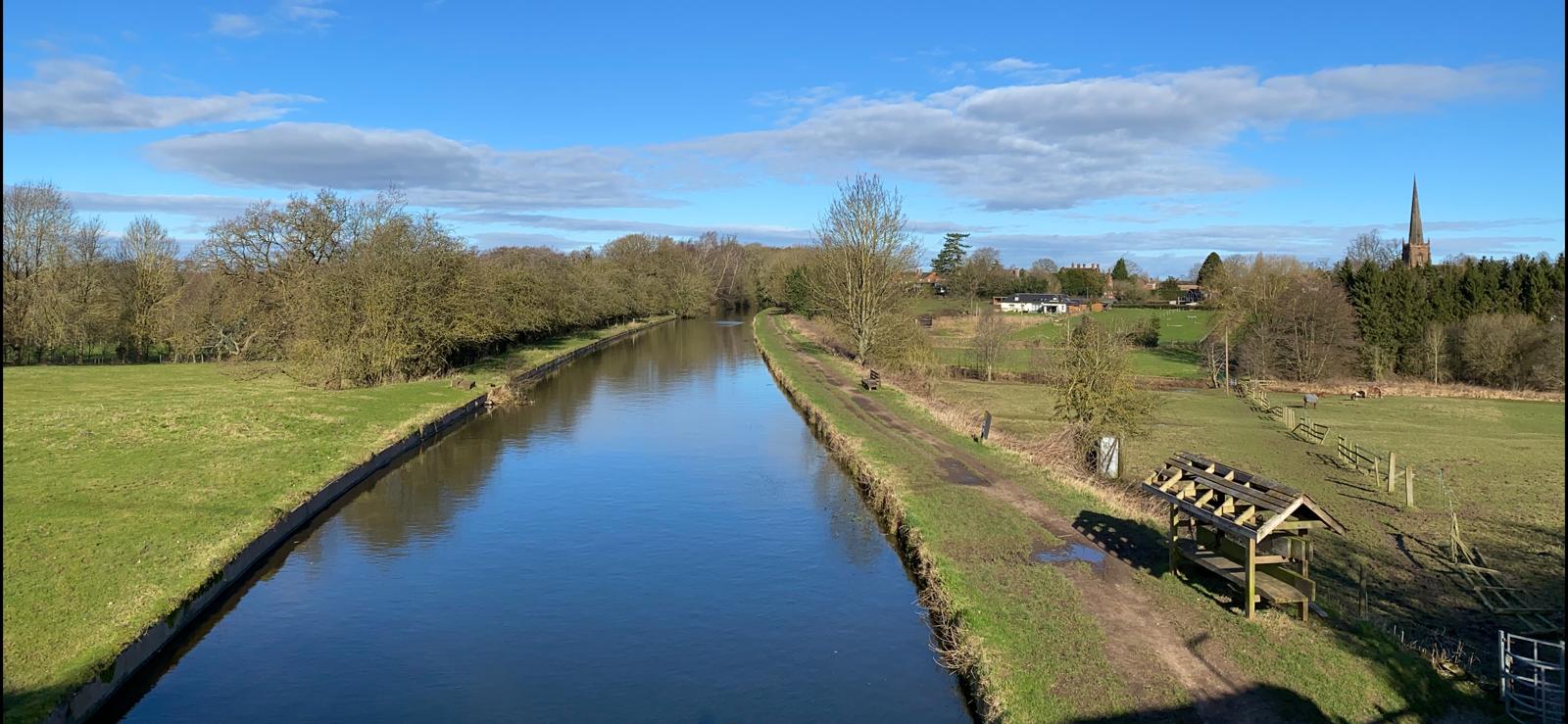
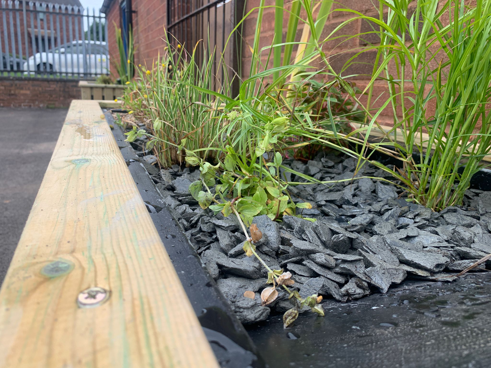
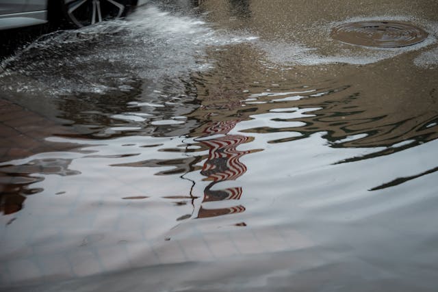
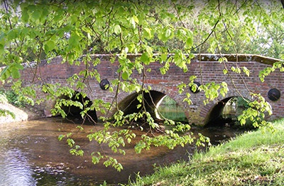
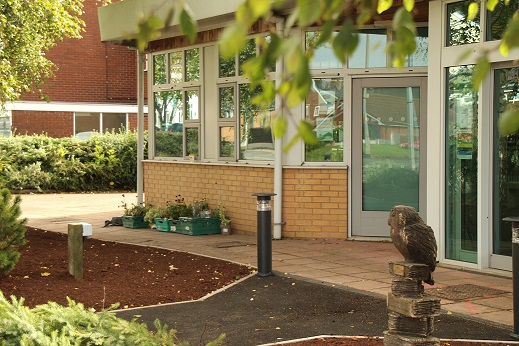
Waterhouses

Waterhouses is a village located in the Staffordshire Moorlands, and is on the southern boundary of the Peak District National Park. This location was identified through the FAIR project, due to the repeated flooding problems caused by surface water and the River Hamps, which has widely impacted residents in the local area. 

Library image

On this page you will find more information about the flood alleviation scheme and about how important community engagement is in making a scheme like this produce positive and successful results for residents who have experienced flooding. 

Community news

What is FAIR?
What is FAIR?

The FAIR (Flood: Aware, Informed and Resilient) approach to community flood risk, or the FAIR Project, is working innovatively and collab...

Find out more
What is flooding?
What is flooding?

Flooding occurs when water covers usually dry land, lasting from a few hours, to several days. Heavy or prolonged rainfall, or rapid snow...

Find out more

Other communities

Swipe across to see other locations

An image taken above a canal, surrounded by countryside
Brewood
View community
Planters installed as part of works carried out at Festival Court, Cannock
Cannock
View community
Car wheel driving through water
Church Eaton
View community
Car wheel driving through water
Edingale
View community
Image of Norton Canes library
Norton Canes
View community
Car wheel driving through water
Rugeley
View community
Uttoxeter town centre
Uttoxeter
View community